
Public developments and original analysis · Announcement date: · Sources
Geospatial agents are connecting natural-language questions to specialist data and computation. For enterprise users, the practical question is whether an analysis can be inspected. A conclusion on a map needs a traceable path back to its data, observation period, geographic boundary and calculation method.
The development: experimental access with a defined scope
On October 14, 2026, Google Research shared progress on Earth AI geospatial reasoning and expanded experimental early access through Ask Google Earth and an A2A service. Its announcement describes specialist models, spatial tools and planning. Eligibility and available functionality require confirmation against the service information. Research and limited early access do not establish general commercial availability for every organization.
The accompanying technical report was first submitted to arXiv on October 11, a separate date from the announcement. It examines combinations of tools and planning and discusses evaluating complex spatial work against expert workflows. A workflow score can reveal missing analytical steps. Business adoption still requires independent examination of the final result and its applicability.
Mokyun’s analysis: preserve geography and time together
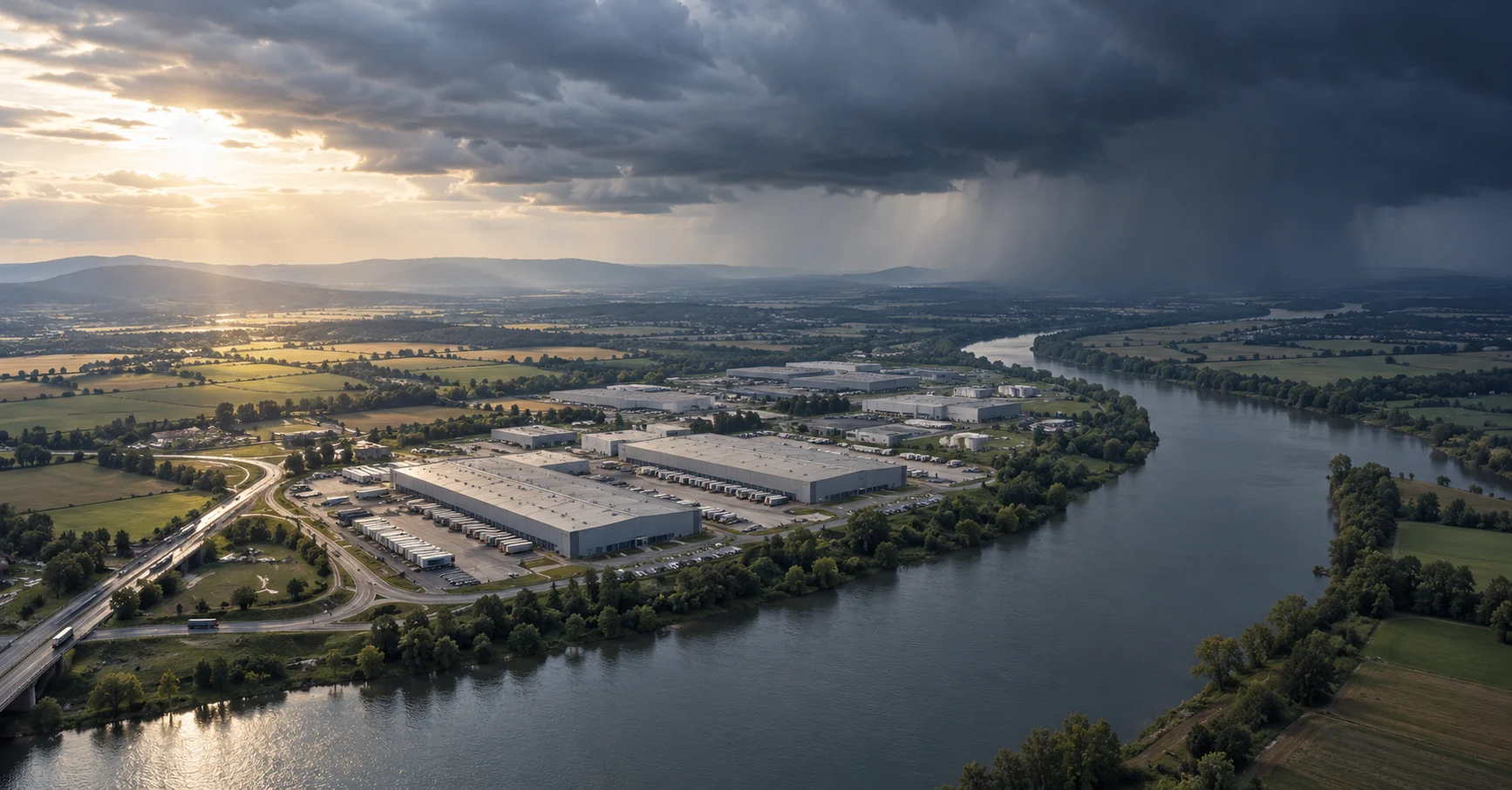
A question about warehouses exposed to heavy rain contains several decisions: which locations, which forecast period, what counts as exposure and how frequently data updates. Coordinate mismatches, addresses placed at an administrative center and stale weather layers can change the result. An agent should retain layer provenance, version, resolution, coordinate system and missing coverage so that another analyst can repeat the calculation.
Geographic boundaries also belong in business rules. Straight-line distance, driving time and an actual delivery route answer different questions. A business owner should approve how an ambiguous term such as “nearby” becomes a calculation. Missing road, terrain or facility data should remain visible. A complete-looking map can still contain gaps in its evidence.
An illustrative workflow: weather screening for a warehouse network
A manufacturer could combine verified warehouse coordinates with public weather information to prepare a review queue. Each item would identify the facility, forecast period, update time, potentially affected routes and unresolved data questions. Staff could use it to plan site checks and transport alternatives. It should not automatically stop operations, move inventory or make customer delivery commitments.
Link each assessment to a warehouse identifier and its calculation basis. Keep observations, forecasts and editorial inference distinguishable. When a forecast changes, preserve the report version and explain material changes. Record the business actions separately. Later comparison of alerts, human decisions and observed impact can reveal false alarms, missed events and data freshness problems.
Implementation: validate one reproducible analysis chain
Begin with a limited region, known coordinates and a defined time window. Freeze historical examples and decision rules. Check address matching, layer alignment, calculations, source links and reviewer agreement separately. Include missing data, boundary locations and expired inputs. Ask business reviewers to repeat selected calculations from the retained evidence before expanding regions, data sources or autonomous actions.
This article proposes implementation practices. The warehouse workflow is illustrative and claims no Mokyun integration with Earth AI or delivery of such a project. Google’s research evaluation is not evidence of this workflow’s accuracy or commercial returns.
Sources
- Google Research: Putting Earth AI to work: Geospatial agents for our planet's biggest challenges
Source published: · Accessed:
- Google Earth AI Geospatial Reasoning Agent: Capabilities and a Systematic Evaluation (arXiv:2610.15750v1)
Source published: · Accessed:
Mokyun Editorial · neo@mokyun.com